Cartographic Archive & Rhine Basin Monograph

From Alpine Glaciers to the North Sea Basin

Flowing over 1,230 kilometers, the Rhine is Western Europe's historic arterial corridor. Trace its passage from the Swiss headwaters through the dramatic German gorge, past terraced slate vineyards, fortress crags, and dynamic riparian deltas.

1,230 km
Total River Length
185,000 km²
Drainage Basin
9 Nations
Riparian Watershed
Basel (Entry) Mainz Koblenz (Gorge) Bonn Cologne Düsseldorf North Sea Estuary N

The Topographic Collection

Five Dimensions of the Rhine Corridor

Structured documentation examining geographic hydrology, historic fortifications, urban riverside metropolises, ecological riparian habitats, and recreational route navigation.

46°37′57″N 08°40′20″E · HEADWATERS
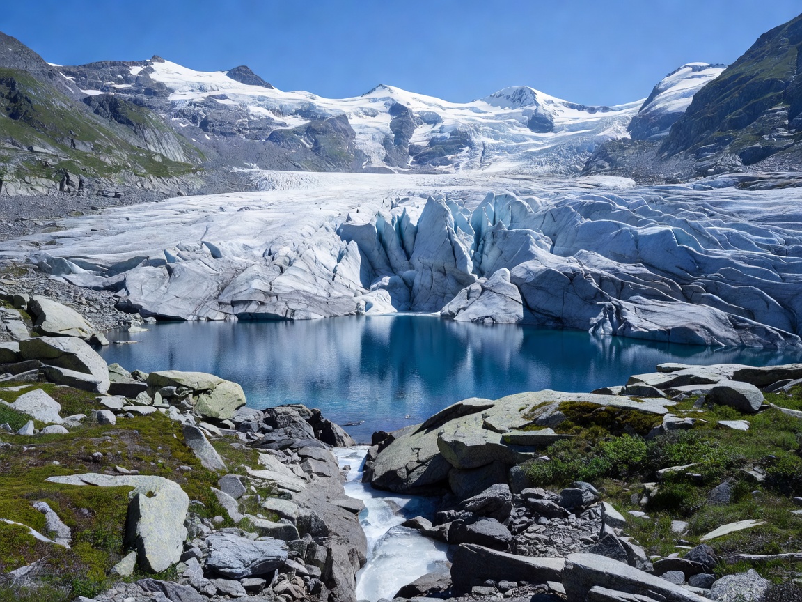
Alpine glacial source region of the Rhine river at Tomasee Switzerland Hydrology

Complete River Overview & Hydrology

Explore the full geographic descent from Lake Toma in the Swiss Alps down through Lake Constance, the Upper Rhine Plain, the Middle Rhine gorge, and the low-lying Dutch delta.
50°56′32″N 06°57′30″E · GERMAN REACH
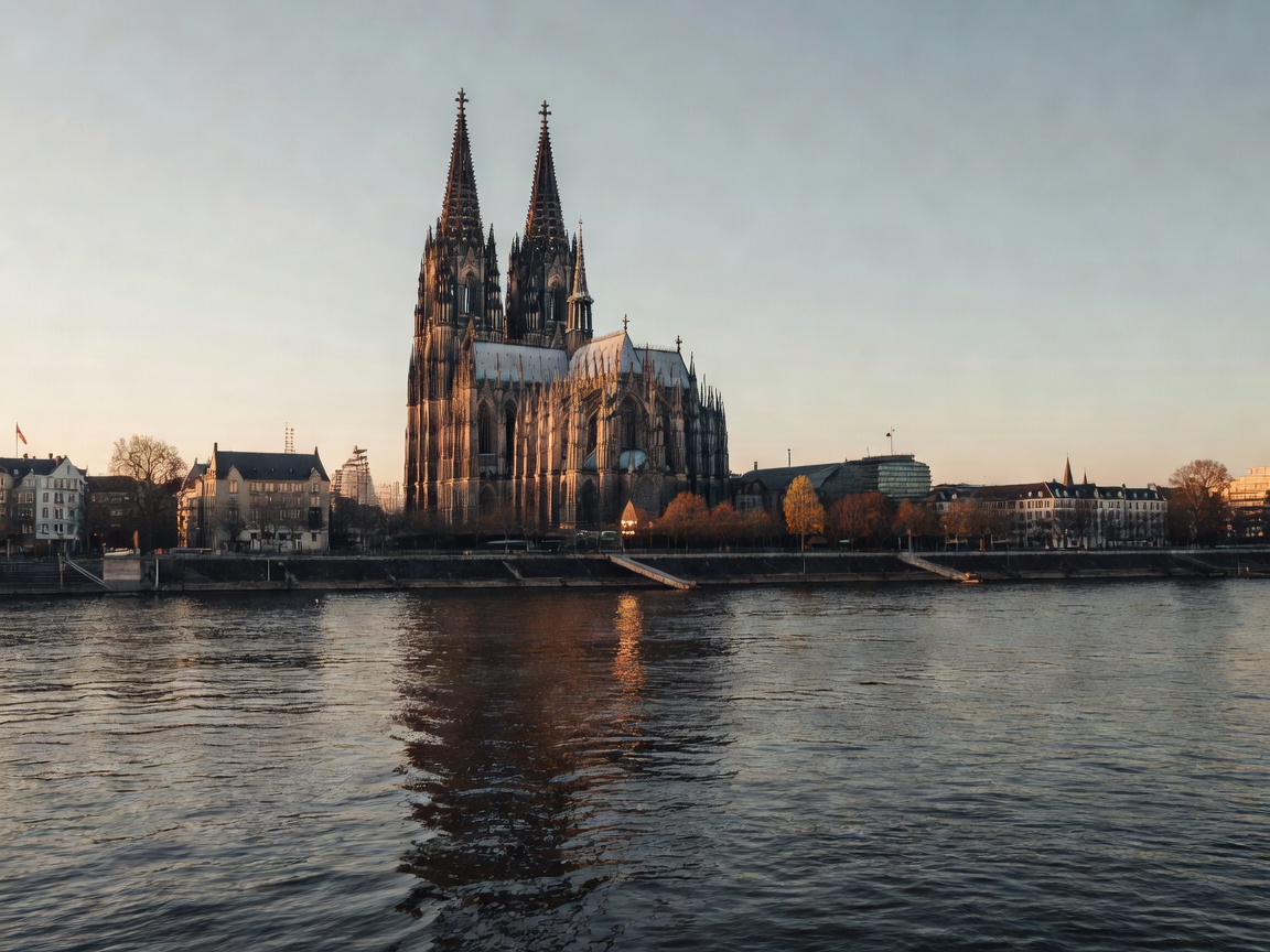
Cologne cathedral tower skyline overlooking the waters of the Rhine river Urban Geography

The German Rhine & Riverside Cities

An architectural and cultural survey of Cologne, Düsseldorf, Mainz, Koblenz, and the former federal capital Bonn, highlighting their port heritage and riverfront transformation.

50°08′50″N 07°43′45″E · UNESCO VALLEY
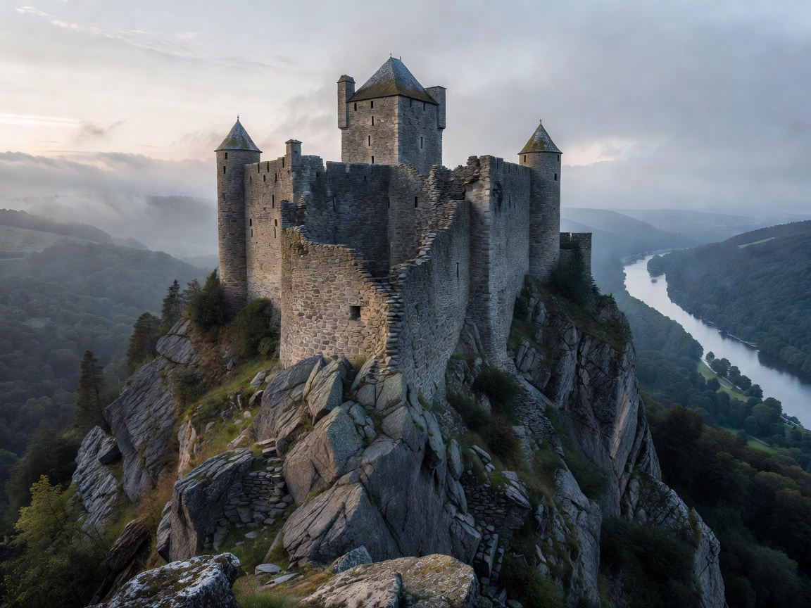
Medieval stone fortress perched on high rocky ridge along the Upper Middle Rhine valley Heritage

Castles, Toll Fortresses & Medieval Trade

Discover forty fortress strongholds built along a 65-kilometer stretch of the Upper Middle Rhine Gorge, engineered to secure toll dues, mineral cargo, and strategic river dominance.

48°41′00″N 07°59′00″E · TAUBERGIESSEN
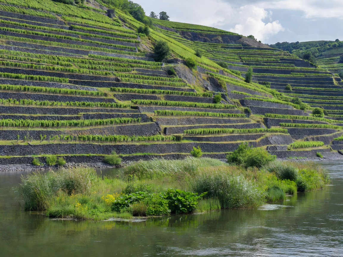
Steep terraced slate vineyards and pristine wetland island vegetation along the Rhine Ecology & Flora

Nature, River Islands & Steep Vineyards

Delve into the biodiversity of the Upper Rhine alluvial wetland reserves, steep slate Riesling microclimates, migratory Atlantic salmon repopulation, and avian winter sanctuaries.

50°12′00″N 07°37′00″E · EUROVELO 15
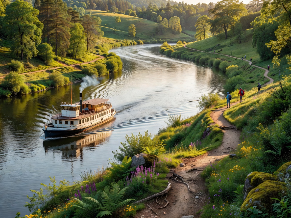
Passenger excursion boat cruising past river bend with scenic hiking trail on river bank Exploration

Travel, River Cruises & Cycle Corridors

Practical planning parameters for navigating EuroVelo 15 (Rhine Cycle Route), day passenger steamer timetables, Rheinsteig cliff trails, and seasonal valley crossings.

Cartographic Chronicle

The Strategic Spine of Western Europe

Since Julius Caesar bridged its waters in 55 BC, the Rhine has functioned simultaneously as an impervious imperial boundary and an indispensable continental artery.

In geomorphological terms, the river is categorized into six fundamental divisions: the Alpine Rhine (Alpenrhein), Lake Constance (Bodensee), the High Rhine (Hochrhein), the Upper Rhine (Oberrhein), the Middle Rhine (Mittelrhein), and the Lower Rhine (Niederrhein) which dissolves into the intricate Rhine-Meuse-Scheldt delta.

Its economic gravity transformed small fishing outposts into Roman frontier legion garrisons, Hanseatic merchant centres, and modern multi-modal logistics hubs handling millions of tons of dry bulk cargo, chemical derivatives, and industrial machinery annually.

"To follow the Rhine is to read the physical ledger of European civilization, written in Roman masonry, basalt stone battlements, and tiered viticulture."

Today, international commissions monitor flood retention basins, aquatic habitat restoration, and industrial discharge controls. The river stands as a benchmark for transboundary environmental governance, balancing intensive barge navigation with protected biodiversity zones.